Sector6/The Rabian Spur (Region)
From Elite Wiki
Origin
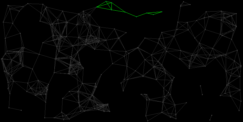
Map
The Rabian Spur consists of the systems Rabi, Leatge, Mazaza, Soamaxe, Tetied, Zalaarce, Geverare, Maesvear and Ririso.
| ID | Name | HC | Position | Gov. | Eco. | TL | Prod. | Pop. | Inhabitants |
|---|---|---|---|---|---|---|---|---|---|
| 6:88 | Rabi | 6 | (101,12) | 10752 MCr | 3.2 Bln. | Human Colonials | |||
| 6:184 | Leatge | 3 | (111,0) | 29120 MCr | 5.2 Bln. | Large Harmless Rodents | |||
| 6:196 | Mazaza | 4 | (117,3) | 5376 MCr | 2.4 Bln. | Small Red Frogs | |||
| 6:8 | Soamaxe | 4 | (117,18) | 35200 MCr | 5.0 Bln. | Human Colonials | |||
| 6:3 | Tetied | 3 | (131,23) | 9120 MCr | 3.8 Bln. | Green Fat Birds | |||
| 6:84 | Zalaarce | 2 | (143,33) | 28800 MCr | 5.0 Bln. | Fierce Red Felines | |||
| 6:236 | Geverare | 3 | (154,25) | 37440 MCr | 5.2 Bln. | Human Colonials | |||
| 6:111 | Maesvear | 2 | (161,28) | 16416 MCr | 3.8 Bln. | Human Colonials | |||
| 6:214 | Ririso | 2 | (170,22) | 4800 MCr | 2.5 Bln. | Green Fat Felines |