File list
From Elite Wiki
This special page shows all uploaded files.
| Date | Name | Thumbnail | Size | Description | Versions |
|---|---|---|---|---|---|
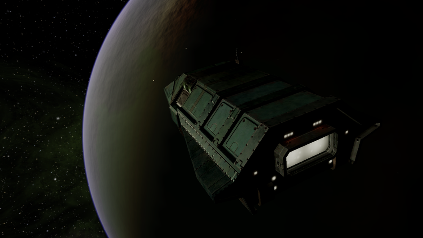
| 12:30, 11 March 2020 | ThargoidNSG01.png (file) |  |
854 KB | Thargoid Invasion Ship | 1 |
| 12:26, 11 March 2020 | AdderNSG01.png (file) |  |
495 KB | Adder | 1 |
| 11:56, 11 March 2020 | Oolite.oxp.another commander.188NSGMaps.1 1.oxz (file) | 105.05 MB | Normal and specular+gloss maps for the basic shipset for Oolite v1.88+. | 1 | |
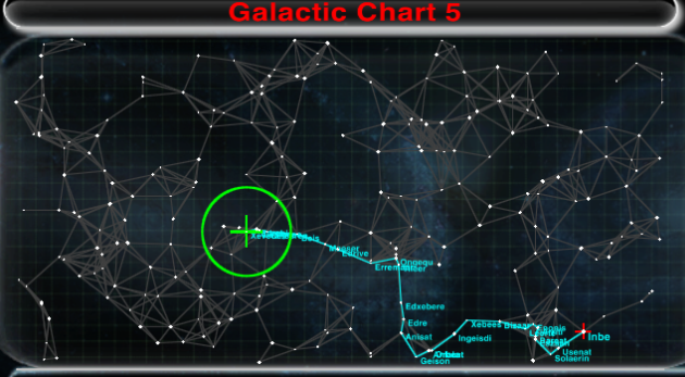
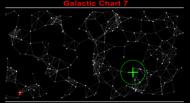
| 22:21, 11 October 2010 | ANA display3.png (file) |  |
275 KB | The Advanced Navigational Array displaying the shortest travel time route (version 1.74 or later). Elements of the BGS OXP by Svengali & Pagroove are visible in this shot. | 3 |
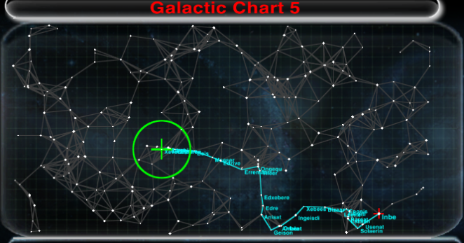
| 22:09, 11 October 2010 | ANA display3.PNG (file) |  |
286 KB | ANA displaying the shortest travel time route (version 1.74 or later). Elements of the BGS OXP by Svengali are visible in this shot. | 2 |
| 19:39, 17 September 2009 | OoliteItaliano v1.3.zip (file) | 32 KB | Oolite Italian Localization OXP, compatible with Oolite version 1.73.x. | 1 | |
| 18:13, 31 December 2008 | OoliteRS rev1.8.zip (file) | 650 KB | Uodated commodity price list with correct min/max/average prices. Added Commander Mc Lane to the "Compiled by" footer. | 5 | |
| 12:38, 3 November 2008 | OoliteItaliano v1.2.zip (file) | 29 KB | Version 1.2 of the Italian localization OXP. Compatible with Oolite v1.72. | 1 | |
| 11:18, 28 April 2008 | OoliteItaliano v1.1.zip (file) | 30 KB | Update of the Italian localization OXP to work with Oolite versions 1.71.1 or higher. | 1 | |
| 21:43, 20 April 2008 | OoliteItaliano v1.0.zip (file) | 30 KB | Oolite Italian localization OXP, version 1.0. | 1 | |
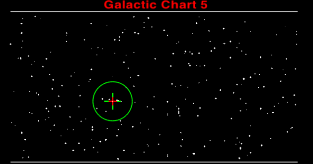
| 13:44, 4 May 2007 | GalChart.png (file) |  |
18 KB | Galactic Chart screen selected. | 2 |
| 12:25, 4 May 2007 | ANA destinationUnreachable.png (file) |  |
99 KB | Selected destination is not reachable. Only ICG displayed. | 1 |
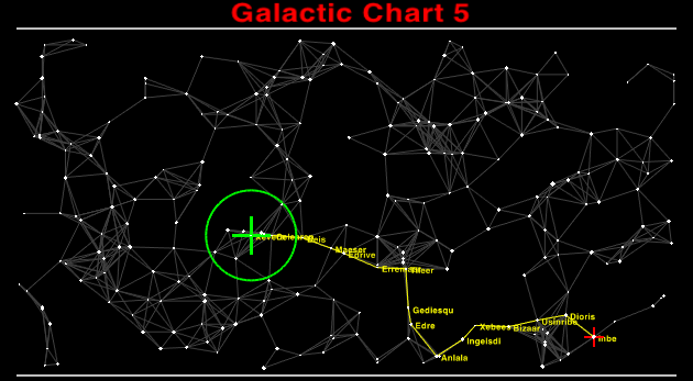
| 12:17, 4 May 2007 | ANA display2.png (file) |  |
73 KB | Advanced Navigational Array showing the Interplanetary Connectivity Grid and the shortest route to the selected destination. | 1 |
| 12:15, 4 May 2007 | ANA display.png (file) |  |
73 KB | Advanced Navigational Array showing the Interplanetary Connectivity Grid and the shortest route to the selected destination. | 2 |