Origin
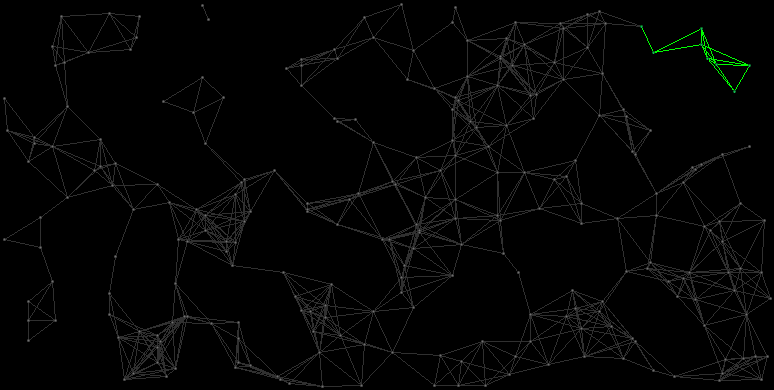
Map
The Outer Reach consists of the systems Arredi, Islama, Argeveza, Reenesma, Quusdi, Rilalela, Aenqute and Oninriar.
| ID |
Name |
HC |
Position |
Gov. |
Eco. |
TL |
Prod. |
Pop. |
Inhabitants
|
| 1003:100
|
Arredi
|
3
|
(212,15)
|
6
|
3
|
04
|
00062406240 MCr
|
2.6 Bln.
|
Small Black Bony Humanoids
|
| 0183:18
|
Islama
|
3
|
(216,32)
|
3
|
7
|
10
|
002240022400 MCr
|
4.0 Bln.
|
Human Colonists
|
| 1493:149
|
Argeveza
|
4
|
(232,16)
|
7
|
7
|
12
|
004576045760 MCr
|
5.2 Bln.
|
Small Slimy Lizards
|
| 0623:62
|
Reenesma
|
5
|
(232,27)
|
1
|
4
|
06
|
00070007000 MCr
|
2.5 Bln.
|
Human Colonists
|
| 2013:201
|
Quusdi
|
5
|
(234,36)
|
1
|
0
|
07
|
00072007200 MCr
|
3.0 Bln.
|
Human Colonists
|
| 2233:223
|
Rilalela
|
5
|
(237,40)
|
6
|
7
|
12
|
004080040800 MCr
|
5.1 Bln.
|
Harmless Furry Insects
|
| 0523:52
|
Aenqute
|
4
|
(248,41)
|
6
|
6
|
10
|
003168031680 MCr
|
4.4 Bln.
|
Blue Bug-Eyed Birds
|
| 1453:145
|
Oninriar
|
3
|
(243,58)
|
5
|
5
|
12
|
002995229952 MCr
|
5.2 Bln.
|
Human Colonists
|